Auchinstarry quarry
OS map Google map Back to all directions
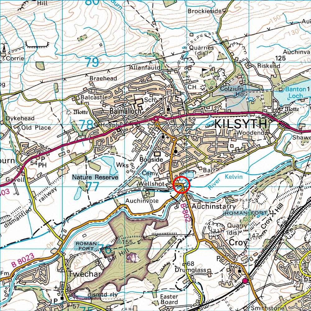
Map Ref         NS 719 771 (Landranger 64)
Lat/Long        55.970218, -4.053245
Distance        42 miles; 55 mins     (from the centre of Edinburgh)
From Edinburgh I usually follow the M9, heading for Stirling, to Junction 7, then take the M876 (take the second M876 exit, heading for Glasgow, at the end of the short 3-lane section of motorway, not the first M876 exit, which goes to Kincardine bridge). Then take the M80 and A803 to Kilsyth. Left here at a roundabout onto the B802 (signposted Cumbernauld). After about .75 mile, the quarry and loch are obvious on your left on a gradual rightwards bend in the road, just after a sharp leftwards bend. Park in the obvious car park on the rightwards bend, immediately in front of the crag. The crag is straight in front of you (in the car park!), and all round the loch.
It is easy to get lost on the return journey because, in their 'wisdom', the roads dept has decided not to signpost Edinburgh on the motorway signs. Thus, to retrace your steps, follow the A803 back to the M80, then follow the Stirling sign onto the M80. Then take the next exit, signposted Grangemouth (still no mention of Edinburgh). After a few miles you find yourself in the inside lane of the 3-lane section of motorway, where you move into the middle lane and hence onto the M9 - finally signposted for Edinburgh!
It is would be possible, but not many people do it, to get to the crag by getting the train to Croy station and then walking along the road - about 1 mile. For train times see National Rail Enquiries or Trainline; google maps (see above) shows how to walk to the crag.