Limekilns
OS map Google map Back to all directions
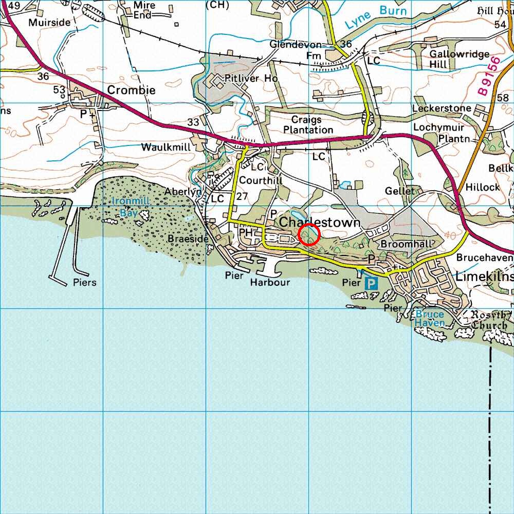
Map Ref         NT 068 837  (Landranger 65)
Lat/Long        56.037133, -3.496994
Distance        19 miles; 30 mins     (from the centre of Edinburgh)
Drive to a large grassy "square" east of the hotel on the east side of the road (as on the OS map). Drive round the square and there is a single road heading east from the middle of the square (the top half of the rectangle of road shown on the OS map) ending at a wrought iron gate, 30 yards after the houses. Park on the left, between the houses and the gate (about where the arrow is on the OS map), or in the little car park on the right (park in a way that does not annoy any local residents).
To get to crag, walk through the wrought iron gate, then immediately veer left into the bushes, at about 45 degrees to the tarmac, and follow a track up a hill through the woods. When you reach a chain-link fence, turn right and follow the fence (get through it at the break). One of the blocks then appears in front of you after about 100 yards. The face you see first is the west face of the Gellet block, and is the most amenable one here and is where we usually gather first. The Sentinel is off through the bushes to the left as you approach the Gellet this way.
The usual post-climbing pub is the Ship in Limekilns, just below the PH on the OS map.