Loudoun Hill
OS map Google map Back to all directions
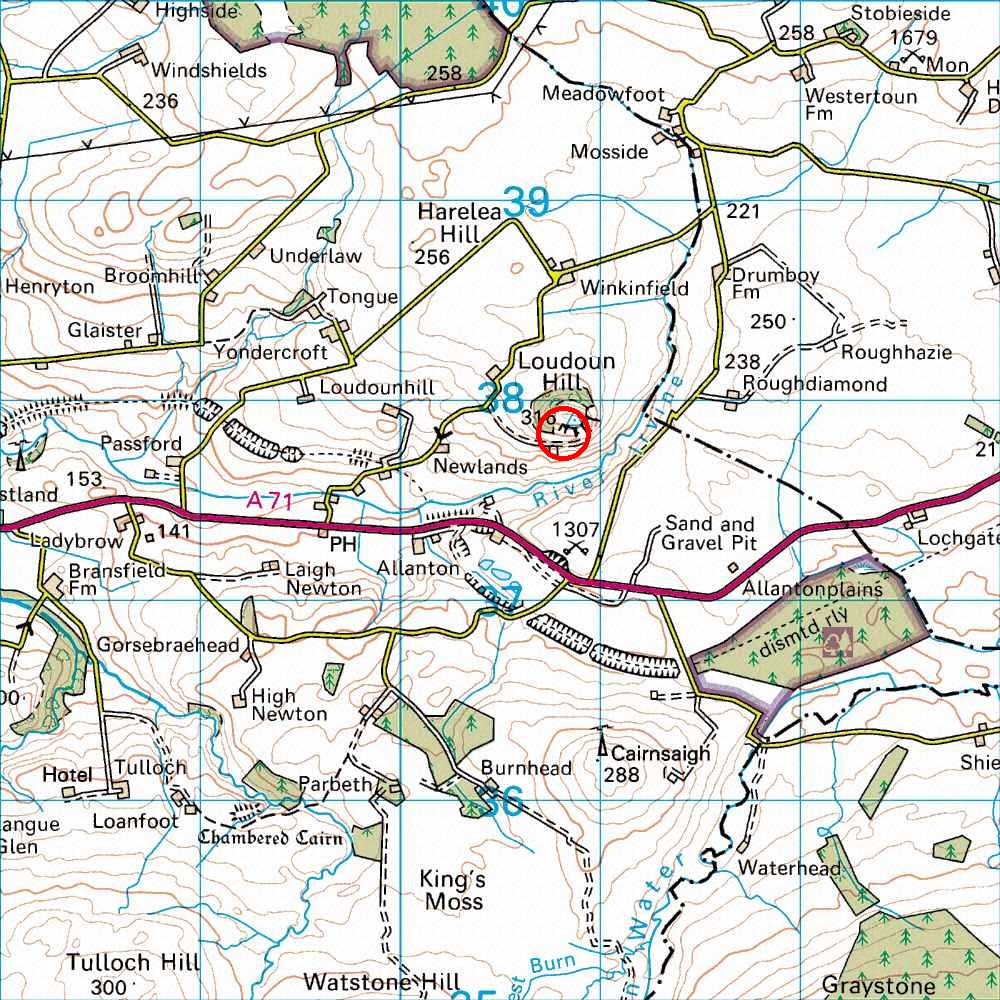
Map Ref         NS 608 378 (Landranger 71)
Lat/Long        55.6152, -4.2035
Distance        58 miles; 1 hour, 15 mins     (from the centre of Edinburgh)
I usually leave Edinburgh along the M8.
Follow this until it becomes the A8, then take the A725 and then the
M74 towards Carlisle.
Leave the M74 at junction 8, onto the A71 signposted Kilmarnock.
Follow the A71 through Strathaven and Drumclog.
About 2 miles after Drumclog, Loudoun Hill appears on the right as an
obvious landmark.
Turn right along a minor road (signposted Loudoun Hill), and park in a
good car park about a third of a mile along the road, to the east of the hill.
Alternatively, if the M8 is heaving, leave it at junction 6,
heading south on the A73, then south and west along the A71.
From the car park, walk down the tracks and across the stream and up the other side. The main crags are high up on the left side of the hill, circling round to the left as you approach from the car park. If you keep an eye out you will spot the 'obvious' knife edge arete of The Edge up above you.